Guide
Historien
Around 930 CE the chieftains of newly settled Iceland chose this dramatic fissure plain, roughly 40 km northeast of modern Reykjavík, as the meeting place for their annual general assembly, the Alþingi. Each summer free men rode from across the island to camp in turf-walled booths, hear the law recited, choose officials and try disputes. There was no king and no executive: authority rested in the assembly itself, making Þingvellir the political heart of the Icelandic Commonwealth.
The most famous single moment came around the year 1000, when the assembly debated whether Iceland should remain heathen or accept Christianity. To avoid open conflict the law-speaker Þorgeir Ljósvetningagoði, himself a pagan chieftain-priest, withdrew under his cloak for a day and a night before ruling that the whole country would adopt the new faith, while a few old customs were tolerated for a time.
The Alþingi continued to convene here long after the Viking Age, through Iceland's submission to Norwegian and then Danish rule, until its final session on the plain in 1798. The location's symbolic weight endured: it was here, on 17 June 1944, that Icelanders proclaimed their modern republic. UNESCO inscribed the site as a World Heritage cultural landscape in 2004 for its unique testimony to nearly nine centuries of open-air law-making.
Vad du får se
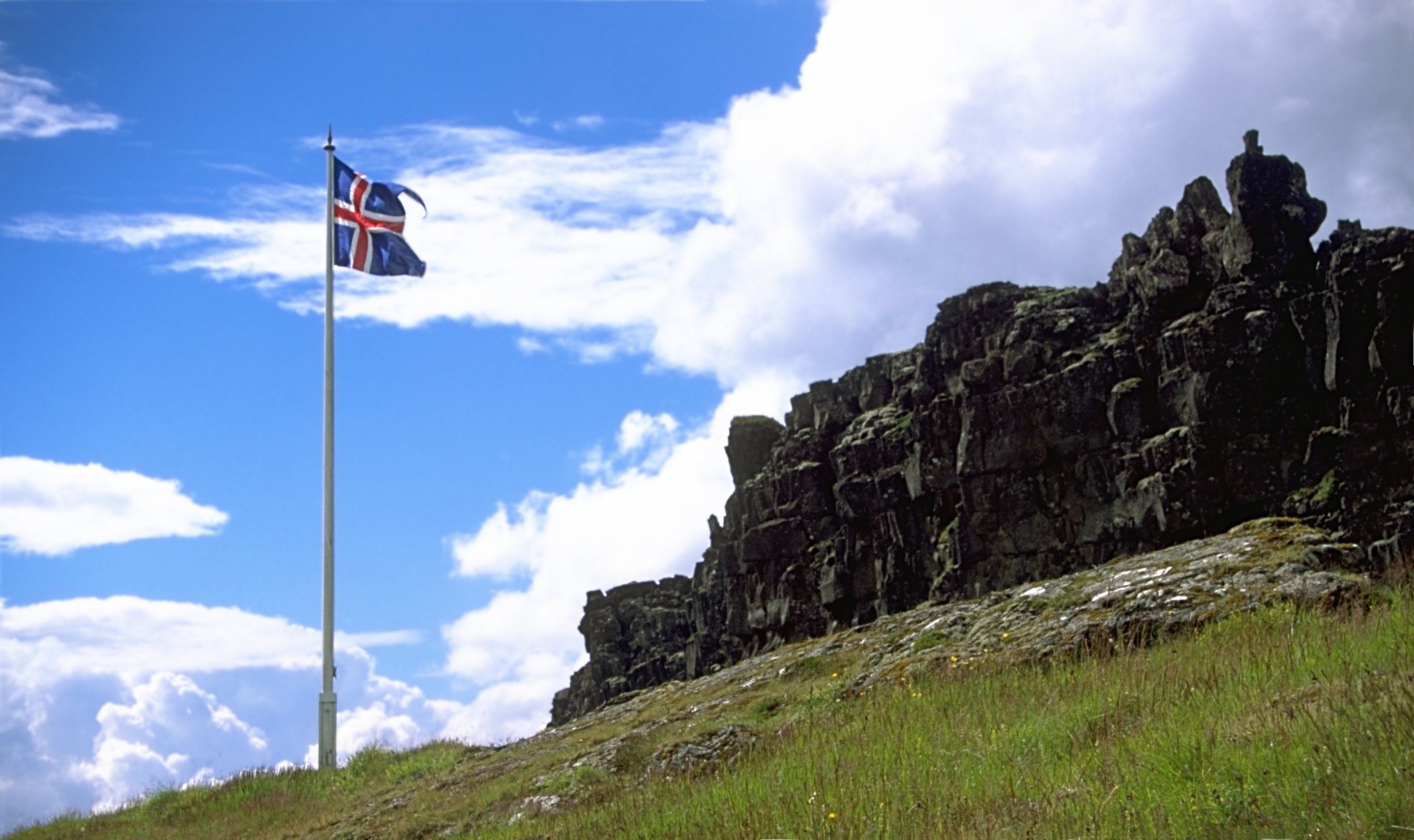
Visitors walk into the Almannagjá gorge, a broad rift along the boundary of the North American and Eurasian tectonic plates, its walls of dark lava framing the plain below. A flagged marker identifies the Lögberg, or Law Rock, the outcrop from which the law-speaker addressed the assembly. Footpaths cross the flat where the assembly booths once stood, past the Öxará river and the Öxarárfoss waterfall that tumbles into the fissure. The small whitewashed Þingvallakirkja church and adjacent farmhouse sit near the shore of Þingvallavatn, Iceland's largest natural lake. Clear-water fissures such as Silfra and Flosagjá draw snorkellers and divers. Interpretive signs and a viewpoint at the upper visitor area explain the geology and the parliamentary history, while the wider national park offers sweeping views over the water.
Att besöka
Þingvellir lies about 40 km northeast of Reykjavík on Route 36 and is one of the three key stops on Iceland's popular "Golden Circle" route; it is reached by hire car or on many day tours, with no public transport of note. The national park and its trails are open year-round and free to enter, though car parks charge a fee and the on-site interpretive facilities keep seasonal hours. A visitor centre with exhibitions overlooks the rift near the upper car park. Diving and snorkelling in Silfra require booking through licensed operators. Weather and paths can be icy in winter; wear sturdy footwear. Confirm current parking charges, opening hours and any activity permits on the official park site, thingvellir.is, before travelling.
Källor